
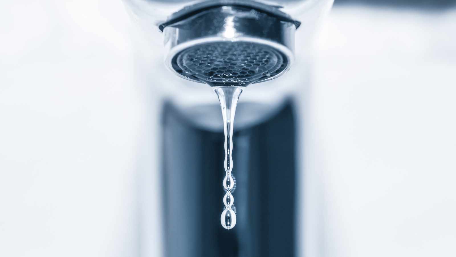
Why drinking water shortages are no longer a “Western” problem
When Americans picture water shortages, they usually think of parched Western landscapes and shrinking reservoirs. But new federal assessments suggest drinking water risk is far more widespread, driven by a mix of climate stress, aging infrastructure, rising demand, and limited capacity to adapt, according to the U.S. Geological Survey’s National Water Availability Assessment and related work on water limitations across the lower 48 states.
Researchers now look at more than just rainfall. They factor in how quickly a state uses its water, how prepared it is for drought, and whether people and systems can bounce back from shocks, as reflected in a multistate drought vulnerability analysis described by NOAA’s Climate.gov and the underlying University of Alabama study.
The result: some states that don’t look dry on a map still rank among the most vulnerable to future
The states most vulnerable to water shortages
One influential drought vulnerability analysis, supported by federal climate and weather researchers, ranked states based on three key factors: how exposed they are to drought, how sensitive their systems are, and how well they can adapt. In that scoring system, the most vulnerable states included:
- Oklahoma
- Montana
- Iowa
These rankings come from a peer‑reviewed framework summarized by University of Alabama researchers and highlighted by NOAA’s Climate.gov drought vulnerability feature.
These findings may surprise people who associate water risk with deserts and megadrought. But they highlight an uncomfortable reality: if communities, utilities, and infrastructure are not ready for prolonged dry periods, even historically “moderate” climates can quickly face serious drinking water challenges.
On the other end of the scale, some states with strong infrastructure and planning capacity ranked as less vulnerable in that particular model, even if they experience periodic drought. That contrast underscores the importance of preparedness, not just geography.
Western states: high stress, high stakes
None of this means the traditional drought-prone states are in the clear. Western and Southwestern states still face some of the most intense pressure on their water systems—pressure documented in federal analyses of water availability, water stress, and limited supplies.
Key states to watch include:
- California
- Arizona
- Nevada
- Utah
- Colorado
- New Mexico
- Texas
The U.S. Geological Survey notes that every region of the lower 48 faces at least one significant limitation tied to water quantity, quality, or flow, but many Western basins are under especially high supply stress. In parallel, reporting on the National Water Availability Assessment indicates that close to 30 million Americans live in areas with limited water supplies, with many of those communities in Western and Southwestern states.
These states depend heavily on overstretched rivers, reservoirs, and aquifers; population growth and intense heat are increasing demand at the same time that snowpack is shrinking and droughts are becoming more frequent and severe.
In these regions, drinking water shortages can emerge from a combination of factors: dwindling reservoir levels, declining groundwater, water quality problems, or infrastructure that simply wasn’t built for current levels of stress.
Why a state becomes vulnerable to drinking water shortages
The term “water shortage” can sound simple, but the underlying causes are complex. Federal agencies and researchers tend to focus on three overlapping drivers:
Save this article
Quantity
Not enough water is available to meet current and projected demand. This dynamic is a central focus of the USGS National Integrated Water Availability Assessment, which tracks where supply and demand are most out of balance.
Quality
Even when water is physically present, contamination can make it unsafe without heavy treatment. The U.S. Environmental Protection Agency has documented how drought, flooding, and other climate‑related hazards can threaten drinking water quality and increase treatment burdens for utilities in its drought resilience and water conservation and drought and water scarcity initiatives materials.
Flow and timing
Climate change is altering when and how water arrives. USGS visualizations show that changing precipitation patterns and runoff timing can affect both surface‑water flows and groundwater recharge, complicating storage and delivery for drinking water systems, as described in USGS water availability visualizations and the integrated availability chapters of the national assessment.
A state becomes vulnerable when one or more of these factors collide with limited capacity to respond—things like underfunded utilities, outdated infrastructure, or fragmented planning. The EPA’s drought and water scarcity initiatives emphasize that resilience depends on proactive planning, coordination, and investment in systems that can withstand more extreme conditions. In that situation, a few bad drought years or a major contamination incident can quickly push communities toward shortages or restrictions.
What this means for people living in at-risk states
For residents, the signs of growing vulnerability can show up in subtle ways long before taps run dry:
- More frequent watering restrictions or outdoor use limits
- Rising water bills as utilities invest in new infrastructure or treatment capacity
- Boil‑water advisories or “do not drink” notices after floods, storms, or contamination events
- Local debates over new development projects that strain existing water supplies
Public health organizations have warned that water insecurity disproportionately affects lower‑income and marginalized communities, including Latino, Black, and Indigenous populations, underscoring the equity dimension of water shortages, as highlighted by the CDC Foundation’s discussion of the growing U.S. water crisis.
Experts stress that planning and investment can dramatically reduce the risk of acute shortages, through steps such as modernizing pipes and treatment plants, diversifying supply (for example, through conservation, reuse, and in some cases desalination), and protecting groundwater and surface water from overuse and pollution—strategies emphasized in both USGS water-availability work and EPA drought resilience programs.
The bottom line for Americans
The biggest takeaway for Americans is that drinking water security can no longer be taken for granted—no matter where you live. Federal assessments show that vulnerability is shaped by climate, infrastructure, demand, and adaptive capacity, not just by how dry a state appears on the map, as seen in the National Water Availability Assessment and USGS visualizations of water limitations.
For individuals, the most practical steps are simple: pay attention to local water advisories, support conservation measures when they are put in place, and follow community updates on infrastructure and water quality. For policymakers and utilities, the challenge is bigger—investing now so that shortages don’t become the next nationwide crisis, a priority echoed in both USGS water‑availability work and EPA drought and water‑sector resilience initiatives.
12 U.S. cities most likely to be targeted in a nuclear conflict

The prospect of nuclear war remains one of the most frightening scenarios imaginable. While experts emphasize that nuclear deterrence has helped prevent large-scale conflict for decades, military planners continue to analyze which locations would likely be considered strategic targets in the event of a major nuclear exchange.
Contrary to popular belief, target selection is not based solely on population size. Military installations, command-and-control centers, government facilities, transportation networks, energy infrastructure, and economic significance all play major roles in determining which locations might be prioritized.
READ: 12 U.S. cities most likely to be targeted in a nuclear conflict