

Flat Earth theory has survived partly because many people assume the evidence for a round Earth depends on trusting governments, space agencies or photographs from orbit. In reality, the shape of Earth can be tested in several independent ways using shadows, eclipses, stars, navigation, surveying and measurements that existed long before modern spaceflight.
Science does not usually “prove” physical theories in the same absolute sense as mathematics. Instead, researchers compare models against observations and ask which one explains the evidence consistently while making accurate predictions.
By that standard, flat Earth models fail repeatedly. The globe model explains a wide range of observations with one coherent geometry, while flat Earth explanations usually need separate assumptions for each individual phenomenon.
Shadows change exactly as a curved Earth predicts
One of the oldest tests requires almost no advanced technology. More than 2,000 years ago, Eratosthenes compared the angle of sunlight at two locations and used the difference to estimate Earth’s circumference.
If two vertical sticks are placed far enough apart north to south, their shadows differ at the same time of day. On a curved surface, the reason is straightforward: the sticks point in slightly different directions relative to the incoming sunlight.
The experiment can still be repeated today by ordinary people in two cities. With accurate measurements and enough distance between locations, the shadow angles can even be used to estimate the size of Earth.
The power of the experiment is that it does not depend on satellites, photographs or one scientific institution. It relies on sunlight, geometry and measurements anyone can check.
Takeaway: Different shadow angles at different locations match the geometry of a curved Earth and can be used to calculate the planet’s approximate circumference.
Lunar eclipses reveal Earth’s curved shadow
During a lunar eclipse, Earth moves between the Sun and Moon, causing its shadow to pass across the lunar surface. The edge of that shadow is consistently curved, something observers noticed long before telescopes existed.
NASA has documented the same curved shadow across many lunar eclipses. A spherical object naturally casts a circular outline from every orientation.
A flat disk can cast a circular shadow only from certain angles. Viewed from other orientations, its shadow becomes increasingly elongated.
The repeated curved shadow therefore fits a roughly spherical Earth far more naturally than a flat one.
Takeaway: Earth repeatedly casts a curved shadow on the Moon during lunar eclipses. That behavior is exactly what a spherical object should produce.
The night sky changes as you move north or south
Different parts of Earth see different stars, and the change happens systematically with latitude. This creates one of the clearest observations people can verify without relying on modern technology.
In the Northern Hemisphere, Polaris appears higher above the horizon as you travel north. Move toward the equator and it gets progressively lower until it eventually disappears from view in the Southern Hemisphere.
Southern observers see different constellations and stars circling around the south celestial pole.
These patterns are exactly what people standing on different parts of a globe should observe while looking outward into space.
Takeaway: The stars visible above you change predictably with latitude. A spherical Earth explains those changes with one simple geometry.
The stars appear to rotate differently in opposite hemispheres
Long-exposure photographs reveal another striking difference. In the Northern Hemisphere, stars appear to circle the north celestial pole in one direction, while observers in the Southern Hemisphere see rotation around the south celestial pole in the opposite apparent direction.
This is not a rare observation. Amateur astronomers and photographers can record it independently from locations thousands of kilometers apart.
A rotating globe explains the effect naturally because people in the two hemispheres are facing outward from opposite portions of the planet.
A flat Earth model has much greater difficulty reproducing both celestial poles and the observed directions of rotation using one consistent arrangement.
Takeaway: Opposite star-trail patterns in the two hemispheres strongly support observers standing on different sides of a rotating globe.
Ships disappearing over the horizon provide another test
As a ship travels away across open water, the lower parts normally become hidden before the upper structure disappears. This is different from an object simply becoming too small to see because of distance.
If perspective alone caused the disappearance, the entire ship should shrink together while remaining visible as one complete object.
Instead, the hull is progressively hidden by the horizon while higher parts remain visible longer. Raising the observer’s height can reveal more of the distant object because the horizon moves farther away.
Atmospheric refraction can affect individual observations, especially close to the surface, but the overall pattern remains consistent with a curved Earth.
Takeaway: Distant ships are progressively obscured from the bottom upward, while gaining height extends the visible horizon. Both effects follow curved-Earth geometry.
The horizon moves farther away when you climb higher
A globe predicts a precise relationship between observer height and the distance to the horizon. The higher you climb, the farther away the horizon becomes because more of the curved surface becomes visible.
This can be observed from tall buildings, mountains and aircraft.
Surveyors and engineers use the same geometry over long distances because curvature eventually becomes significant in accurate measurements.
A flat surface would not produce the same relationship between height and horizon distance.
The fact that measurements repeatedly match calculations based on Earth’s known radius provides another independent test of curvature.
Takeaway: Horizon distance increases with height in the way expected on a curved surface. This relationship can be measured rather than simply observed visually.
Earth’s day-and-night pattern fits a rotating globe
At any given moment, some parts of Earth experience daylight while others are in darkness. Sunrise and sunset progress across the planet in a predictable sequence as Earth rotates.
This is why people in different countries experience different local times.
The pattern also changes with latitude and season. Near the poles, the Sun can remain above the horizon for extended periods during summer and below it for long periods during winter.
A tilted rotating globe naturally predicts those conditions.
Flat Earth models often require a nearby moving Sun to explain day and night, but they struggle to reproduce the observed pattern of daylight duration, sunrise direction and polar day and night across all latitudes simultaneously.
Takeaway: Global day, night and seasonal sunlight patterns match the geometry of a rotating, tilted globe across both hemispheres.
The Southern Hemisphere creates major problems for flat Earth maps
Many popular flat Earth maps place the North Pole near the center and Antarctica around the outer edge. That arrangement dramatically stretches distances in the Southern Hemisphere.
If that map represented reality, journeys between places such as Australia, South Africa and South America should be far longer than the globe model predicts.
Actual travel times do not behave that way.
Airlines and ships routinely move between Southern Hemisphere destinations using distances consistent with spherical geometry.
The problem becomes especially obvious when several long-distance routes are compared at once. A flat map can sometimes be adjusted to make one route look reasonable, but doing so causes other measured distances to become badly distorted.
Takeaway: Real distances between Southern Hemisphere locations fit a globe far better than common flat Earth maps, which must stretch the southern half of the world enormously.
Long-distance navigation depends on globe geometry
Pilots and sailors often use great-circle routes because the shortest path between two distant points on a sphere follows a curve known as a great circle. On many flat maps, these routes look strangely bent.
That appearance can make the flight path seem inefficient when viewed on a rectangular map.
The problem is map projection. Flattening a curved surface necessarily distorts something, such as distance, direction, area or shape.
Navigation systems work because calculations account for Earth’s actual geometry rather than treating a rectangular map as the physical planet.
The repeated success of those routes provides a practical test used continuously around the world.
Takeaway: Long-distance navigation works using spherical geometry, even when the shortest route looks curved after being projected onto a flat map.
Surveyors directly measure Earth’s shape
The science devoted to measuring Earth’s size, shape, orientation and gravity field is called geodesy. It goes far beyond simply claiming Earth is round.
NOAA describes Earth as an irregular ellipsoid, with a slightly larger radius at the equator than at the poles. Modern geodesists then use an even more detailed gravity-based model called the geoid to represent the irregularities in global mean sea level.
These models are checked against independent measurements from surveying, gravity observations and positioning systems. NOAA specifically evaluates geoid models against GNSS measurements and traditional leveling rather than accepting the models without testing.
This matters because geodesy is practical. Land boundaries, elevations, construction projects and transportation systems depend on accurate positioning.
Takeaway: Scientists can measure not only that Earth is curved but the slight differences between its equatorial and polar dimensions and irregularities in its gravity field.
Gravity itself fits a roughly spherical Earth
Gravity pulls objects toward Earth’s center of mass, which naturally produces a planet that tends toward a rounded shape when enough material collects under its own gravity. Rotation then produces a slight equatorial bulge.
Save this article
Earth is not perfectly spherical because mountains, ocean trenches and uneven mass distribution create local irregularities.
NOAA’s geoid model incorporates these gravity variations rather than pretending Earth is a perfect ball. The agency notes that the equatorial radius is larger than the polar radius because of Earth’s rotation.
Measurements of gravitational direction also matter. “Down” at different locations points toward Earth’s interior rather than one universal downward direction expected on a flat plane.
Takeaway: Earth’s gravity field and measured equatorial bulge fit the behavior expected from a large rotating body held together by gravity.
GPS would quickly reveal a fundamentally wrong Earth model
Global navigation systems depend on precise measurements of position, timing and Earth’s geometry. If the model of Earth were fundamentally wrong, location errors would accumulate rapidly across long distances.
NOAA explains that geodesists use GPS and related systems to measure points on Earth’s surface and maintain consistent coordinate systems used for mapping, boundaries and transportation.
This is not one experimental demonstration performed in isolation. Navigation systems are used continuously by governments, airlines, ships, surveyors, businesses and ordinary phone users.
Their reliability does not independently prove every aspect of modern astronomy, but it provides a powerful engineering test of the geometric model underneath them.
A flat Earth system would need to reproduce the same worldwide positioning accuracy using a different geometry.
Takeaway: Modern positioning technology works with models based on an ellipsoidal Earth, and its accuracy is tested continuously in everyday navigation and surveying.
Satellites can be tracked without trusting NASA
A common flat Earth objection is that images from space could be fabricated. Even setting every space photograph aside, satellites create observations that independent people can make from the ground.
Amateur astronomers can predict when satellites will cross overhead, photograph the International Space Station and receive radio transmissions from orbit.
Radio enthusiasts can track satellite passes because an orbiting object becomes available above one region and later disappears beyond the horizon exactly when orbital calculations predict.
Independent organizations and hobbyists do not need access to NASA control rooms to perform these observations.
A flat Earth model would need to explain the repeated trajectories, visibility windows and signal behavior using one alternative system that predicts them equally well.
Takeaway: Satellites are independently observable objects whose movements match orbital calculations around a globe, not merely features appearing in official photographs.
Circumnavigation works in several directions
People have traveled around Earth east to west and west to east for centuries, eventually returning to their starting point. Modern transportation also allows travel through high northern and southern latitudes.
East-west circumnavigation alone could potentially be incorporated into some flat maps, so it is not sufficient by itself.
The stronger evidence comes from combining routes in different directions, Southern Hemisphere distances, celestial observations and polar navigation.
One model has to explain all of them simultaneously.
The globe does this using one global coordinate system without changing the scale dramatically depending on where the traveler happens to be.
Takeaway: Circumnavigation becomes stronger evidence when combined with measured routes across different latitudes and hemispheres rather than considered as one journey alone.
Antarctica is especially difficult for the flat Earth model
On common flat Earth maps, Antarctica becomes an enormous ring surrounding the rest of the world. Real expeditions, research stations, aircraft operations and measured distances do not behave as if Antarctica were an endless outer boundary.
People travel to and across the continent, and several nations operate permanent research facilities there.
Summer brings continuous daylight to parts of Antarctica, while winter produces extended darkness. Those observations follow directly from Earth’s axial tilt and Antarctica’s position around the South Pole.
The same pattern occurs in reverse near the North Pole during opposite seasons.
Any alternative model has to explain both polar regions with one Sun and one consistent geometry.
Takeaway: Antarctica behaves like a continent surrounding a southern pole on a globe, including its travel distances and extreme seasonal daylight patterns.
Water does not require a flat Earth
A common argument says water always finds its level, so oceans must form a perfectly flat surface. The phrase “level” in physics does not mean an infinitely extended plane.
Water responds to gravity.
On Earth, the surface toward which oceans settle follows the planet’s gravity field, producing the geoid used by geodesists as an approximation of global mean sea level. NOAA defines the geoid using precisely this gravitational relationship.
Over a small distance, that curved surface looks flat because Earth is enormous relative to the scale of everyday human experience.
The same principle explains why a tiny portion of a large sphere can appear almost perfectly flat when examined up close.
Takeaway: Water seeks an equal gravitational potential, not an infinite geometric plane. On a planet-sized body, the resulting level surface follows Earth’s overall curvature.
Why doesn’t Earth look curved when you stand on it?
The answer is scale. Earth’s radius is roughly 6,378 kilometers near the equator, so the curvature over ordinary human distances is small compared with the size of the planet. NOAA’s geodesy materials use a radius of roughly 6,378 kilometers in describing the ellipsoidal model.
Imagine standing on an enormous ball thousands of kilometers across. A few hundred meters of ground around you would appear nearly flat because you occupy only a tiny portion of the surface.
That local flatness is real in the practical sense, which is why builders can often work using flat approximations over small areas.
As distances become larger, surveyors have to account for Earth’s shape.
Takeaway: Earth looks flat locally for the same reason a tiny section of a huge sphere looks flat up close. Curvature becomes measurable as the distance being examined increases.
No single experiment carries the whole argument
Perhaps the strongest case against flat Earth theory is that completely different observations converge on the same model. Shadows, eclipses, star positions, navigation, gravity, surveying, polar daylight and satellite tracking do not depend on one another.
A person could reject space photographs entirely and still encounter the same conclusion through ground-based observations.
This is how strong scientific models usually work. They explain multiple phenomena without requiring unrelated special explanations every time a new measurement appears.
Flat Earth proposals tend to solve one observation at a time, often creating contradictions with another observation elsewhere on the planet.
Related: Why do we cry when we’re happy? What science says
Takeaway: The globe model is powerful because one geometry explains many independent observations at once. The case does not depend on one photograph or experiment.
Can flat Earth theory make better predictions?
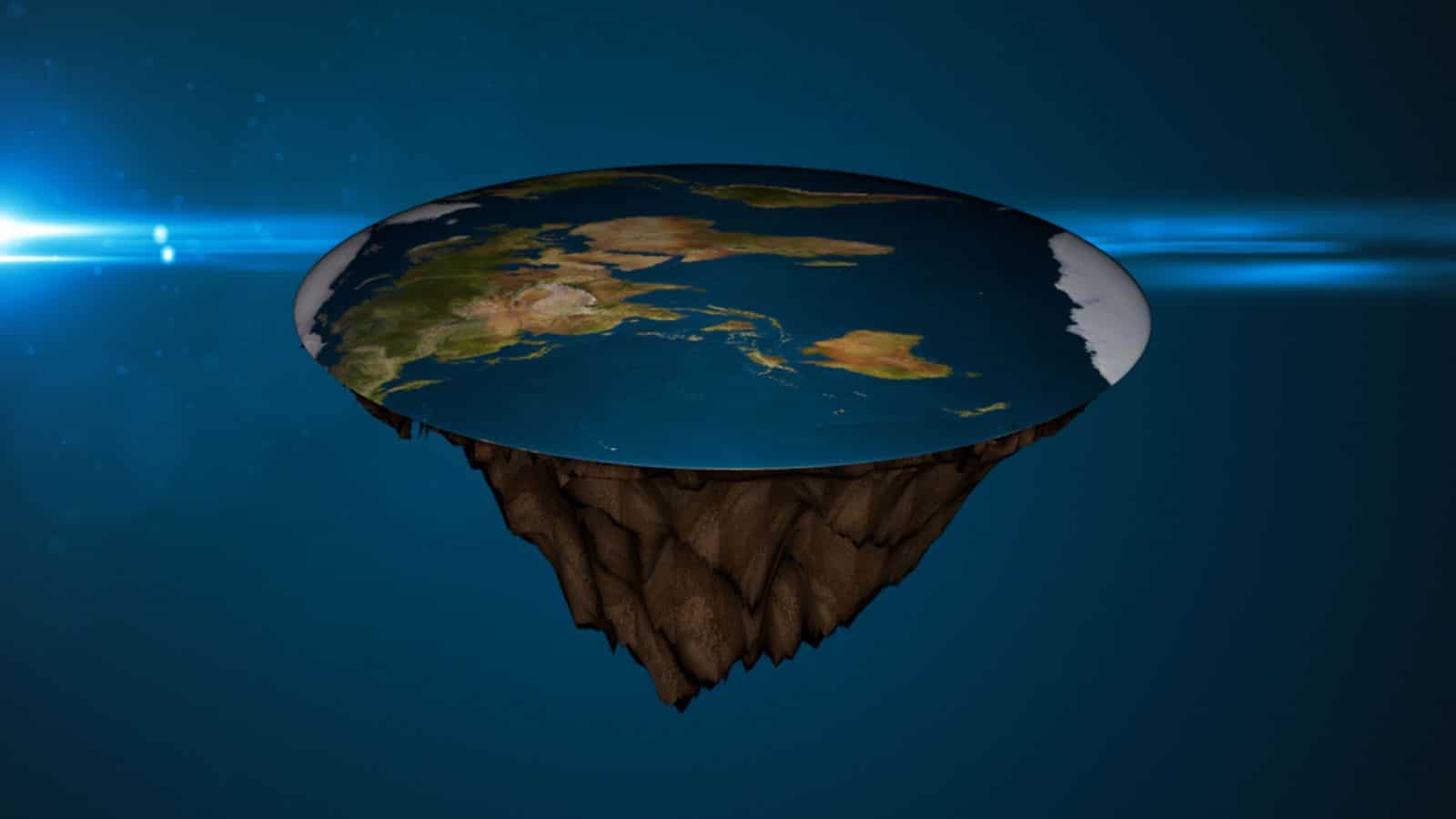
This is ultimately the scientific test that matters. A competing model needs to do more than raise questions about the mainstream explanation; it needs to predict observations more accurately.
A complete flat Earth model should specify the shape and scale of the world, locations of continents, movements of the Sun and Moon, distances between cities and what stars observers should see at every latitude.
Those predictions could then be compared directly with reality.
No widely accepted flat Earth model currently reproduces the full range of observations as successfully as the globe model.
Different flat Earth explanations often contradict one another because changing the model to explain one problem can make another problem harder.
Takeaway: A scientific alternative needs a single model capable of predicting observations. Flat Earth theory has not produced one that matches the predictive success of the globe.
So can science prove flat Earth theory is wrong?
Science can show that flat Earth models fail against multiple independent observations and that the measured Earth behaves like a slightly flattened sphere. Shadows, eclipses, stars, horizons, navigation, gravity and geodesy all converge on that conclusion.
Calling that a mathematical proof would go beyond how empirical science normally works. The conclusion instead rests on overwhelming converging evidence and repeated successful predictions.
The crucial point is that trusting NASA is not necessary.
Someone can test shadows, watch lunar eclipses, travel between hemispheres, observe changing stars and compare distances across the Southern Hemisphere without seeing a single photograph from space.
Flat Earth theory would need to explain all of those observations better than the globe model does. So far, it has not.
Question for you. If you had to personally test Earth’s shape without using any space photographs, would you choose the shadow experiment, star observations or long-distance measurements? Each provides a route to the answer using evidence you can verify independently.